
Conversation-driven map building
Build maps, dashboards, and spatial workflows by describing what you need in plain language. Navi generates the first version and lets you inspect and edit the result on the canvas.

Atlas is a browser-based AI GIS for maps, dashboards, and spatial workflows from data and conversation, with GIS-grade analysis and collaboration.
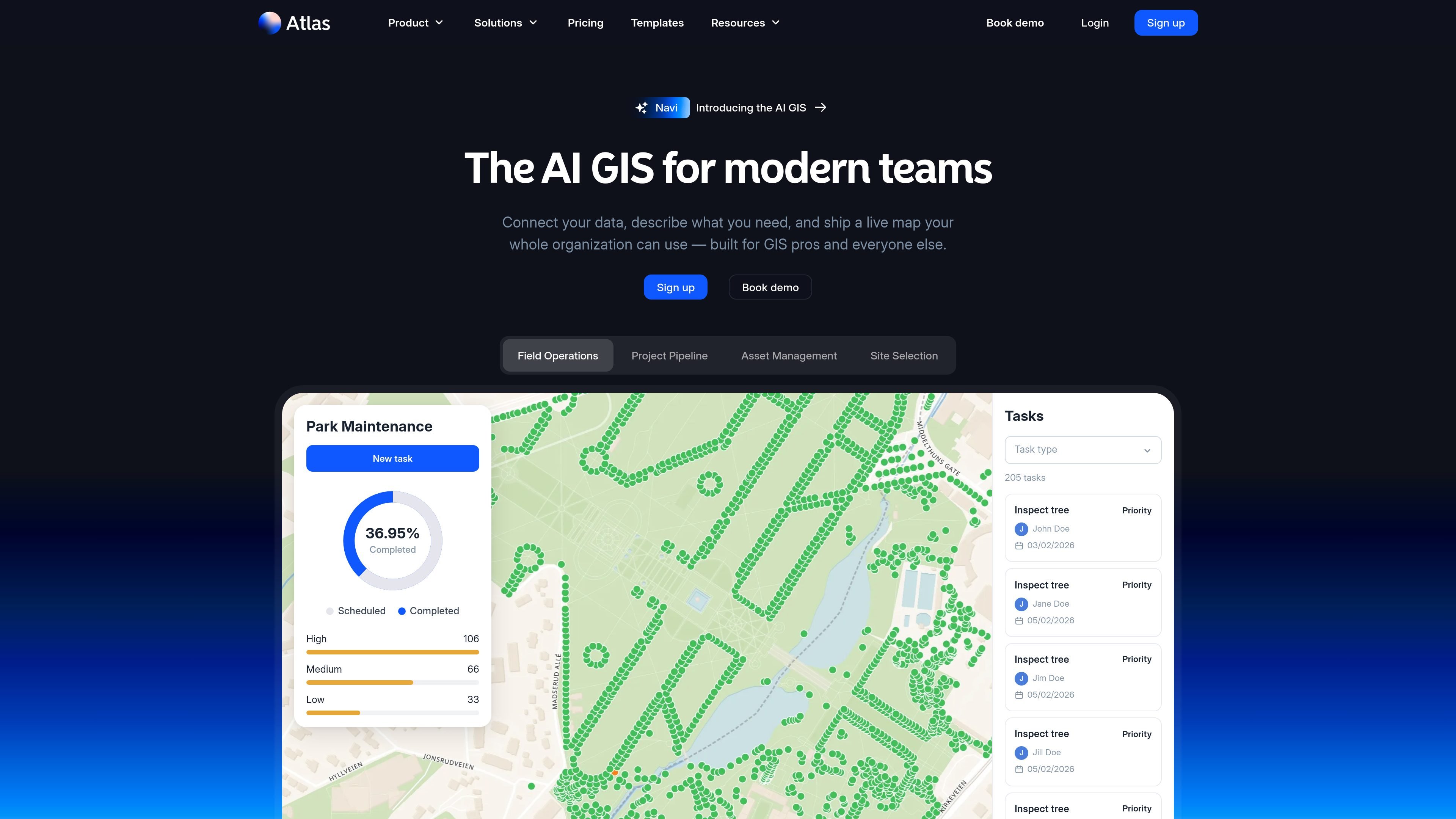
Atlas is an AI-native GIS platform for building maps, dashboards, and spatial workflows in the browser. It combines traditional geospatial tools with a conversational assistant called Navi, so users can describe what they need and have Atlas assemble a first version from their data.
The product is aimed at teams that work with location data but do not all have GIS expertise. The source materials emphasize shared, editable outputs, live synchronization, and collaboration across energy, infrastructure, real-estate, municipal, and field operations use cases.
Build maps, dashboards, and spatial workflows by describing what you need in plain language. Navi generates the first version and lets you inspect and edit the result on the canvas.
Connect data from spreadsheets, databases, and live PostgreSQL sources, then work from a single map instead of scattered files. The site also mentions formats such as CSV, GeoJSON, GeoTIFF, KML, and GPKG.
Use spatial tools such as buffers, clip, intersect, dissolve, overlay analysis, proximity searches, routing, and density analysis. Atlas positions these as GIS-grade functions that are available in the browser.
Create dashboards with charts, widgets, filters, and live visual summaries of assets, projects, and team locations. The product pages describe these as editable, real-time views that stay synchronized with the underlying data.
Set up multi-step workflows for tasks such as site screening, weekly status reports, alerts, and scheduled updates. Atlas says workflows can be transparent, editable, and run on a schedule without writing a cron job.
Share maps, comment on them, and collaborate across departments or organizations. Projects are private by default, with public sharing available when needed.
Turn scattered property, parcel, or portfolio data into a live map that gives leadership and operations one shared view of assets and status.
Run site screening, exclusion, buffer, and routing analyses for projects such as wind farms, solar pipelines, and other infrastructure planning work.
Build dashboards for field teams that track tasks, progress, maintenance status, and locations in one editable workspace.
Create weekly or daily workflow automations that generate status updates, flag changes, and send alerts or emails on a schedule.
Publish maps and analyses for stakeholders or colleagues outside the Atlas workspace using public links, while keeping projects private by default.
Atlas is a browser-based GIS platform. You can sign up for an account, import a CSV, or connect a database, and then ask Navi to build a first map or workflow from your data.
Atlas is designed for maps, dashboards, and spatial workflows that can be edited by an entire team. The source materials describe use by GIS professionals as well as non-specialists who need access to the same live map.
Atlas supports map creation and editing, spatial analysis, dashboards, sharing, and workflow automation. The product pages also describe public or private sharing, comments, annotations, and live updates across collaborators.
Pricing includes a free Starter plan and paid Pro, Team, and Enterprise options. The pricing page also shows a contact-sales flow for Enterprise and monthly or annual billing choices on paid plans.
Atlas says projects are private by default, but they can be shared publicly when needed. The pricing page also notes public links for sharing maps with people outside the organization or colleagues without an Atlas account.