
Hyper-local precipitation estimates
View rainfall accumulation at exact locations instead of relying on broad area averages. The product emphasizes 1km precision for both app and API use.

Precip is a hyper-local weather product for checking rainfall, snowfall, and related ground conditions at specific locations. It includes a consumer app and an API for historical precipitation data.
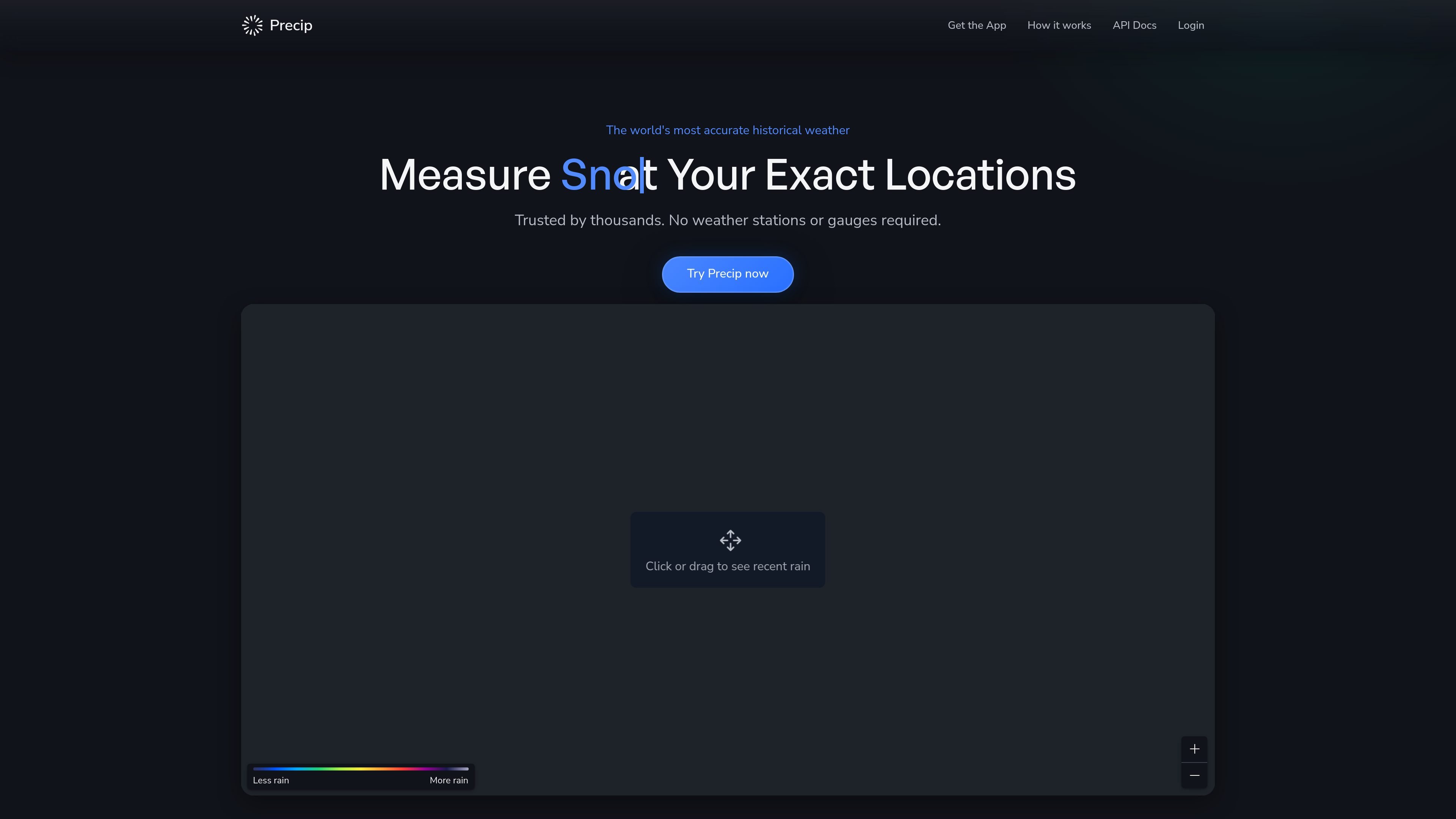
Precip is a weather product built around observing precipitation at a specific location rather than estimating it from the nearest airport or a broad forecast model. It offers a consumer app for rain and snow totals as well as a developer API for historical weather data.
The service focuses on rainfall accumulation, snowfall totals, and related ground conditions. Across the site, Precip positions its data as hyper-local and observation-based, with hourly and daily totals, alerts, multi-location views, and an API that returns programmatic access to precipitation data.
View rainfall accumulation at exact locations instead of relying on broad area averages. The product emphasizes 1km precision for both app and API use.
See hourly and daily precipitation totals going back years, with the totals updating as more data becomes available.
Get alerts when rain is approaching and when precipitation crosses your thresholds, so you can avoid unnecessary site visits or schedule changes.
Track multiple addresses or sites in one view and compare current conditions with the 7-day forecast across them.
Use the developer API to access hourly rainfall history programmatically. The example endpoint returns hourly data and requires an API key.
Explore additional weather layers such as snowfall totals, snow depth, soil moisture, soil temperature, wind speed, and muddiness conditions.
Check how much rain or snow fell at a specific address, town, or worksite without installing gauges or visiting a station.
Monitor several properties or job sites side by side, using totals, live radar, and the 7-day forecast to coordinate crews or travel.
Set precipitation thresholds and receive alerts before or during a storm to reduce unnecessary trips or schedule disruptions.
Review multi-year rainfall history and compare seasons or years when you need context for trends, anomalies, or planning decisions.
Pull hourly rainfall history into an application or workflow using the API when you need programmatic weather data.
Precip combines data from more than 180 doppler radar stations, satellite imagery, and a quality-controlled network of ground reporting stations. Those inputs feed proprietary models that estimate precipitation at 1km resolution.
The support page says Precip currently covers the contiguous United States, plus significant parts of Canada and northern Mexico. The data page adds that other regions may be available upon request.
Precip’s data is observation-based rather than forecast-based. The company says users often find it closely matches physical rain gauges, and that hyperlocal 1km resolution helps capture variation that coarser models miss.
The free plan includes two saved locations with partial access to rainfall history, forecasts, and alerts. Upgrading unlocks more locations, deeper historical data, and premium layers.
Subscriptions are managed through the App Store on iOS or Google Play on Android. You can cancel or change the plan from your device’s subscription settings, and changes take effect at the end of the current billing cycle.