
Multi-source satellite data
EOSDA combines its EOS SAT-1 satellite with more than 20 partner constellations, including optical, SAR, and thermal sources, to provide imagery across different conditions and use cases.

EOSDA is a satellite data analytics and visualization platform for searching, interpreting, and reporting on satellite imagery with browser-based analysis and crop monitoring.
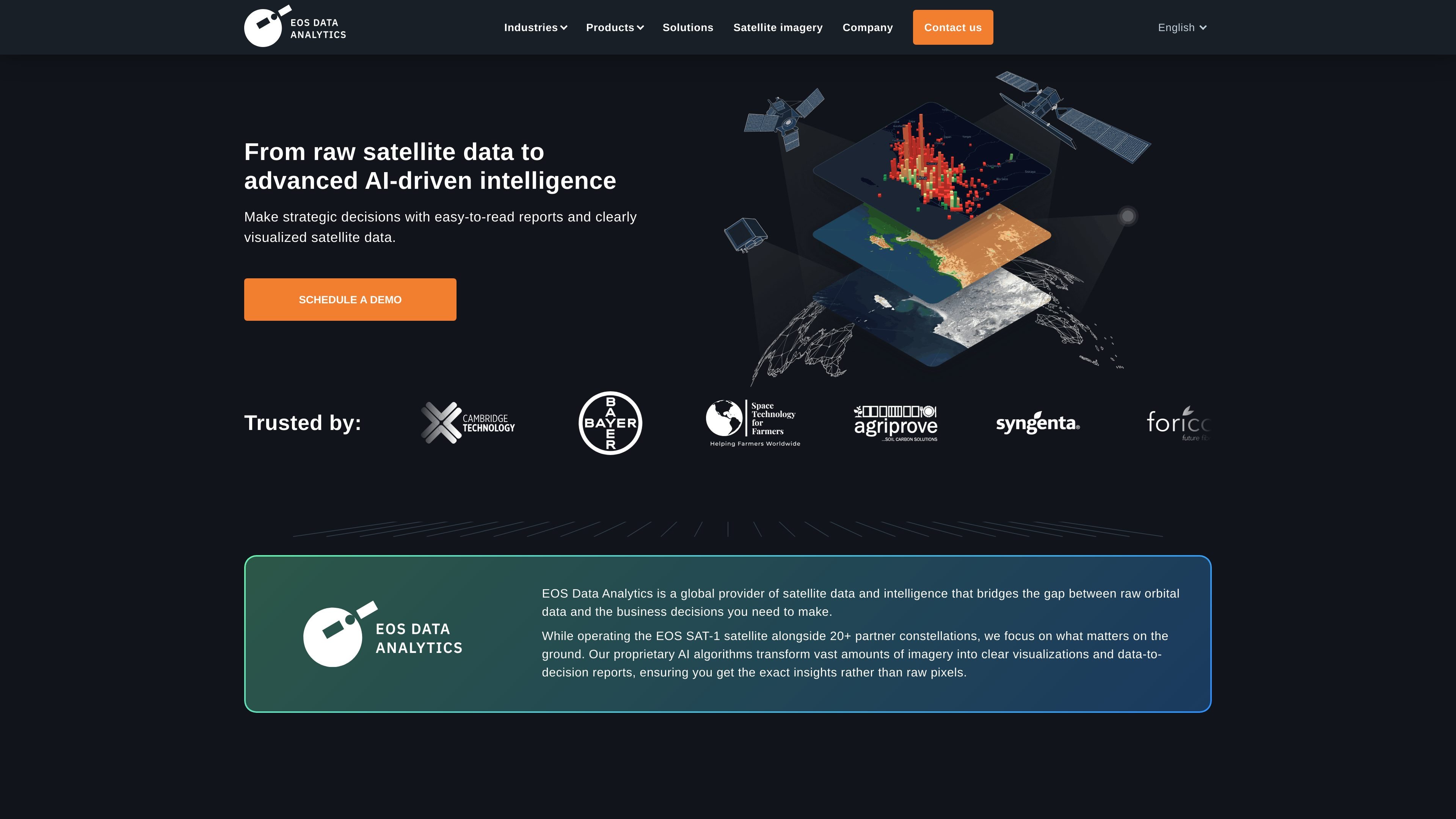
EOSDA is a satellite data analytics and visualization platform from EOS Data Analytics. It combines its own EOS SAT-1 satellite with partner constellations to help users turn orbital imagery into clear maps, reports, and decision-ready outputs.
The product family includes LandViewer for browsing and analyzing imagery in the browser, Crop Monitoring for remote farm analytics, and EOS RayVision for tailored analytical reporting. Across those solutions, the common purpose is to make satellite data easier to search, interpret, and apply in operational workflows.
EOSDA combines its EOS SAT-1 satellite with more than 20 partner constellations, including optical, SAR, and thermal sources, to provide imagery across different conditions and use cases.
Proprietary AI algorithms turn imagery into visualizations and data-to-decision reports, helping users work from interpreted outputs instead of raw pixels.
LandViewer lets users search, visualize, and analyze satellite imagery directly in the browser for faster review and exploration.
Crop Monitoring supports remote field review with satellite images, vegetation indices such as NDVI, weather history, and risk notifications across the season.
The platform offers specialized solution areas such as crop classification, yield prediction, infrastructure monitoring, damage mapping, maritime surveillance, border security, change detection, and deforestation detection.
EOS RayVision produces tailored analytical reports that turn complex data into visual stories for different industries.
Use Crop Monitoring to review crop health, vegetation changes, soil moisture, and seasonal trends without visiting every field in person.
Use LandViewer to search satellite imagery in the browser, inspect areas of interest, and analyze before-and-after changes for investigation or planning.
Use the specialized solution pages for crop classification, yield prediction, infrastructure monitoring, damage mapping, maritime surveillance, border security, and deforestation detection.
Use EOS RayVision when a team needs a tailored analytical report that turns complex imagery into a concise visual story for stakeholders.
Use the platform’s multi-source imagery network when an area needs coverage from optical, SAR, or thermal data depending on weather, visibility, or analysis needs.
EOSDA LandViewer is described as a browser-based tool for searching, visualizing, and analyzing satellite imagery. The source does not specify desktop software, so the safest reading is that it works in the browser.
The site presents EOSDA as a satellite data analytics and visualization provider with multiple solutions, including EOS RayVision, LandViewer, and Crop Monitoring. That makes it suitable for organizations that need imagery analysis, reporting, or monitoring workflows rather than a single-purpose app.
The homepage and product pages show workflows for crop monitoring, change detection, infrastructure monitoring, maritime surveillance, border security, deforestation detection, damage mapping, and custom analytical reporting.
The pricing page provided in the source set does not expose plan prices or limits. It does show a demo-oriented contact flow, so users should expect to request pricing or a live demo for more detail.