
AI georeferencing
Automatically scans map PDFs and scanned maps, places control points, and lets the user review and accept them before georectifying.

Bunting Labs is map digitization software for GIS workflows. Georectify scanned maps, vectorize features, and extract data from PDFs with QGIS tools and web GIS.
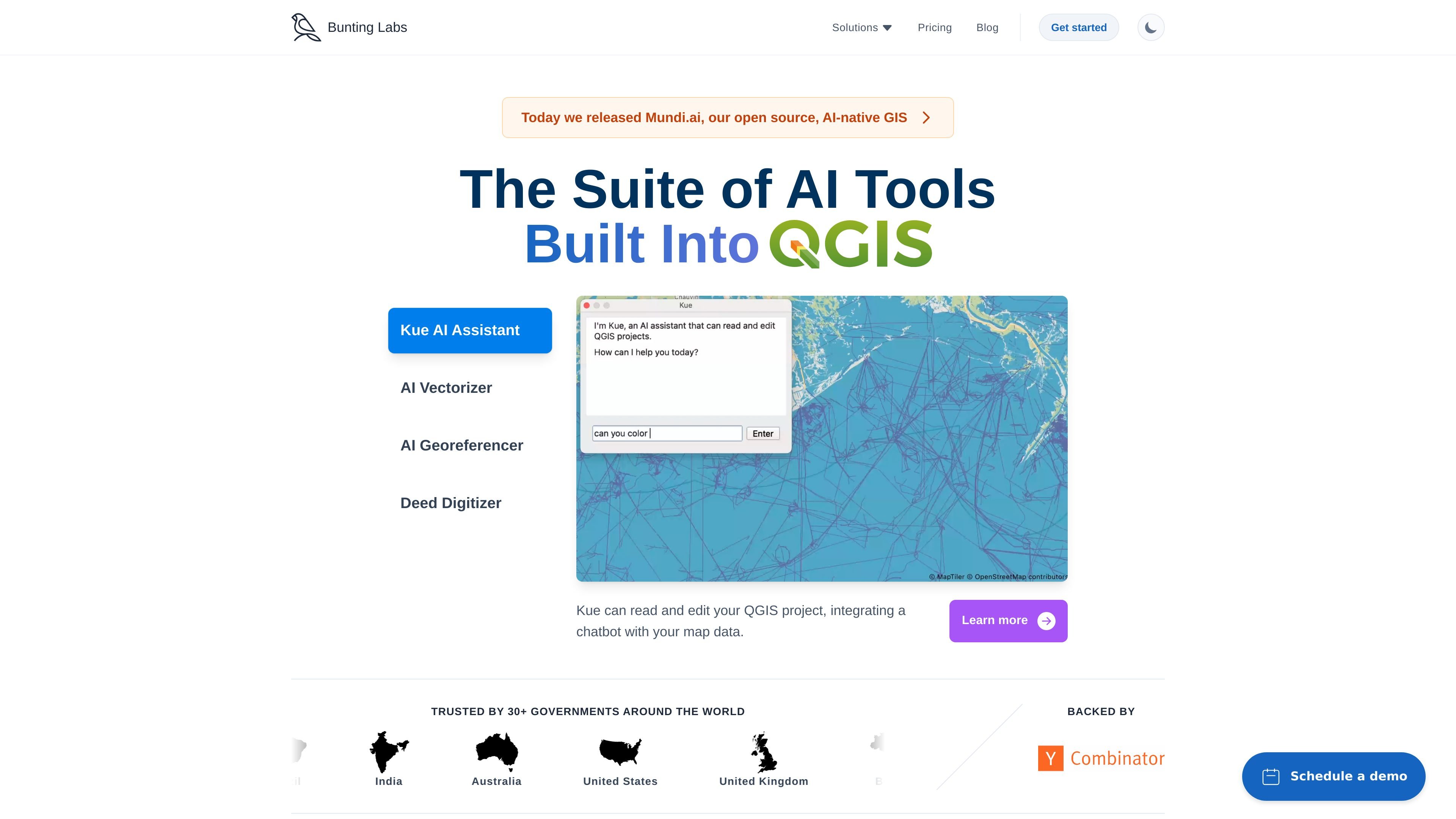
Bunting Labs is a map digitization platform focused on GIS workflows. It combines AI tools for georectifying scanned maps, vectorizing map features, and extracting metadata from map PDFs, with products surfaced through QGIS and a web GIS offering.
The site positions the product for plan sets, as-builts, utility maps, mine maps, geologic maps, aerial imagery, and land-description work. Its QGIS assistant can interpret plain English, run geoprocessing operations, and help users work inside QGIS without leaving the application.
Automatically scans map PDFs and scanned maps, places control points, and lets the user review and accept them before georectifying.
Digitizes map features such as geology, utilities, aerial imagery, engineering drawings, and as-builts, with controls for overriding or fixing AI output.
Turns legal descriptions and deeds into vector geometries by extracting metes and bounds.
Runs inside QGIS as an embedded assistant that can edit symbology, filter layers, add basemaps, and execute geoprocessing tasks.
Builds temporary layers for geoprocessing operations, runs tasks in the background, and references QGIS documentation to guide algorithm choices.
Provides exportable vector layers and support for ArcGIS and CAD workflows after digitizing maps.
Use the AI Georeferencer to place control points on scanned maps and review them before accepting the georectified result.
Trace features in geologic maps, as-builts, aerial imagery, and engineering drawings into vector layers for further GIS work.
Work in QGIS with an assistant that can filter layers, edit symbology, add basemaps, and run geoprocessing without leaving the project.
Convert deeds and legal descriptions into vector geometries when the task requires metes-and-bounds extraction.
Export vector layers for downstream ArcGIS and CAD workflows after digitizing maps.
Bunting Labs offers QGIS-based tools for map digitization, including Kue AI Assistant, AI Vectorizer, and AI Georeferencer. The site also mentions a land descriptions workflow for deeds and legal descriptions.
The AI Vectorizer is available as a QGIS plugin and is described as easy to install directly into QGIS. Kue can also be downloaded from the QGIS plugin repository or found in QGIS's plugin manager.
The source page says the AI Vectorizer can export vector layers to ArcGIS and CAD, and the homepage and pricing page describe georectifying, vectorizing, and extracting metadata from map PDFs.
The pricing page shows a Personal plan for evaluation and non-commercial use, a Professional plan for full control over data, and a Mundi.ai web GIS plan. It also notes zero data retention and no training on data on the Professional plan.
Kue is designed for tasks such as editing vector symbology, searching for datasets, adding basemaps, translating plain English into SQL expressions, and running geoprocessing algorithms inside QGIS.